
Charter market
PrinceWilliamSound
A Drowned Range with Ice at the Head of the Arms
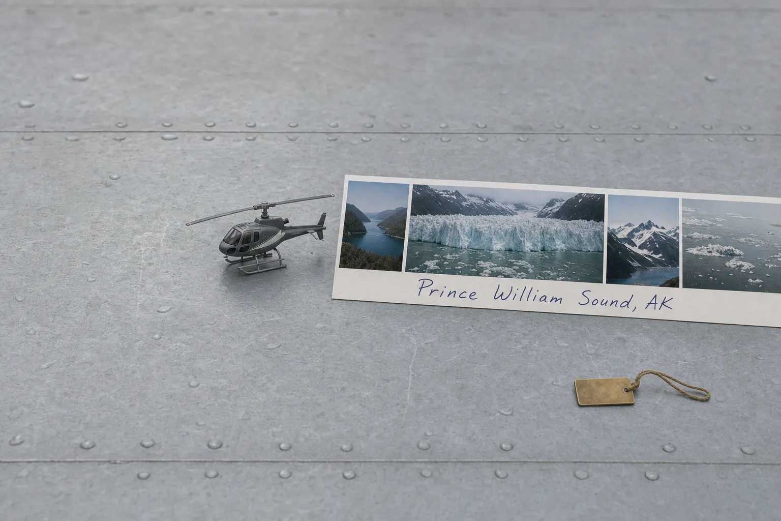
Prince William Sound lies on the south coast of Alaska, east of the Kenai Peninsula, inside a horseshoe of the Chugach Mountains and open to the Gulf of Alaska. It is a drowned mountain range: the sea has flooded the valleys between the ridges, so what reads on a map as one bay is really a series of fjords and passages threaded between islands, many ending at a glacier that comes down to salt water. The ice is not in one place. It is at the head of arm after arm, around a coastline far longer than the Sound is wide.
Three towns sit on it and no two are reached the same way. Whittier, closest to Anchorage, is entered through the Anton Anderson Memorial Tunnel, which the state calls the longest combined vehicle and railway tunnel in North America: one lane, shared by road traffic and the Alaska Railroad, taking turns on a schedule. It has only carried cars since 2000. Valdez sits at the head of a long fjord on the Richardson Highway. Cordova, on the eastern side, has no road connection to the rest of the state at all.
What a Flight Actually Reaches
College Fjord. One arm with a line of tidewater and hanging glaciers down both walls, named for eastern colleges by an expedition in 1899. From the water it is a sequence of separate stops; from the air, one wall of ice read in a single pass.
Columbia Glacier. One of the most closely watched glaciers in the world, for a retreat large enough to redraw the chart: NASA puts it at more than twenty kilometres since the 1980s. The face has pulled back up its own fjord, leaving a long inlet where solid ice used to stand.
Harriman Fjord, Blackstone Bay and Unakwik Inlet. The ice closest to Whittier, and beyond it inlets running deep into the Chugach, quiet and lightly travelled.
The country above the tidewater. Every glacier reaching salt water here is the bottom end of something much larger, and the snowfields feeding them, the passes between drainages and the crest behind are not visible from a boat.
The Copper River delta. East toward Cordova the mountains give way to a flat maze of channels and wetland that fills with migrating birds in spring.
The Straight Line Is Over the Ridge
Distances here are not what the map suggests, because a boat cannot travel them. Two glacier faces twenty miles apart in a straight line can be most of a day apart by hull: a vessel has to come back out of one arm, round a headland, and go up the next.
An aircraft flies the straight line and crosses the ridge between them. That, rather than access to ice, is what a flight sells here. The boats reach the ice perfectly well. What they cannot do is put four glaciers, a mountain crest and a river delta into one trip, or turn a full day of running time into a leg.
The Boat Is the Right Purchase for Calving Ice
If the point of the trip is to watch a glacier calve, buy a boat ticket.
Calving is a waiting game, and a vessel can shut its engines down at a safe distance off the face and sit there for an hour while the ice decides what to do, floating among the bergs at eye level with them. The sound is half of the event: the cracking, the report when a section goes, the wash afterwards. None of it exists in a headset. A helicopter cannot loiter at sea level in front of an ice cliff, and asking it to try buys the worst version of both trips.
Day sailings out of Whittier and Valdez do this well, for a fraction of an hour of whole-aircraft time. The aerial case is the geometry above: a different product, not a better version of the same one.
Expect an Overflight, Not a Landing
Much of the Sound sits inside the Chugach National Forest, alongside state, municipal and Alaska Native corporation land. Commercial flying on forest ground runs under permits naming specific places rather than granting general permission, and a large part of the western Sound lies inside a wilderness study area administered to a stricter standard again.
So a flight here is usually an overflight. Standing on a glacier is normal in some Alaskan markets and is not the default in this one, which makes a landing something to establish for the specific ground rather than assume. How that decision works is the subject of Heliports & Landing Zones, and the rules charter flights operate under are in FAR Part 135.
Where Flights Operate From
Most visitors reach the region through Anchorage, which has the fullest set of aviation facilities in the state, and the Sound is close enough to be a day out from it. The alternative is to start at the water’s edge: Valdez Pioneer Field serves the town at the head of the fjord, and Merle K. Smith Airport serves Cordova, which has no road. Whittier has only a short gravel strip.
Typical Routes and Flight Times
The near ice. A run to the glacier faces at the northwestern corner and back.
The arm-to-arm circuit. The flight the geometry argues for: several fjords in one sortie, crossing the ridges between them rather than tracing the shoreline around.
The Columbia leg. Out over the ice-choked inlet below the terminus, up the fjord to the face, and back over the ridge.
The crossing to Cordova. Point to point over water and delta country a road has never joined.
What Hiring the Whole Aircraft Changes
You choose the shape of the route. A shared sightseeing seat flies a settled circuit because that is what works at volume. A private departure can sequence the arms in whatever order the light and the cloud allow, or abandon the plan halfway and go where the weather is better.
You fly the good hours. Southcentral summer gives an enormous usable day, and the flat low light early and late is what this country wants.
You can put the camera first. Blue ice, dark water and grey light reward doors, angles and a second pass over the same face, the subject of Aerial Photography & Film.
You can plan around what the aircraft carries. Range over water, seats and gear bear on which class suits the day, set out in Helicopter Class Comparison.
You buy the aircraft’s time rather than a seat, which is the whole of the difference in What a Charter Costs.
The Substitute Sails When the Aircraft Cannot
This is a maritime coast and among the wetter country in the United States. Cloud and rain are normal, and the limit here is neither the summit weather that hides Denali nor the wind through the river corridors above Knik Glacier.
It is that the good version of this flight crosses a lot of ground. A short hop to one nearby face needs only a local improvement, while the arm-to-arm circuit that justifies the aircraft needs the whole route open at once. The substitute, meanwhile, keeps running: vessels sail in conditions that ground flying, so a bad day here does not cost a visitor the ice. It costs them the aerial version of it, which is easier to reschedule around. Forecasts come from the National Weather Service in Anchorage, and what a marginal one means for a booking is in Weather, Delays & Scheduling.
Seasonal Patterns
The season runs from roughly May into September, with very long daylight through the middle of it. Late spring is quiet, with firm snow still on the high ground. Midsummer is busiest on the water and greenest ashore. Early autumn brings the first Gulf storms, and the clearest cold days between them. Winter is short on daylight, though the mountains behind Valdez hold some of the deepest snow in the country and are Heliskiing ground.
Which Charter Types Dominate Here
Scenic flying, the bulk of it, framed as charter in Scenic & Sightseeing Charters.
Point-to-point flying between towns the road system barely connects.
Access and support work. People, instruments and equipment into fjord country with no road.
Photography and film, drawn by ice and salt water.
Related Pages
- Destinations: the other US charter markets.
- Kenai Fjords: the fjord country west of here, where one icefield feeds the park.
- Knik Glacier & Chugach Range: the same range from its northern side, on the road system.
- Juneau & Mendenhall Glacier: the Southeast icefield market, where the helicopter owns the ice.
- Denali: the interior Alaska market, where waiting out the mountain is the product.
- San Juan Islands: the other market where a boat, not a road, is the ground alternative.
- Scenic & Sightseeing Charters: how charter-framed scenic flying works.
- What a Charter Costs: what you pay for when you hire the aircraft instead of a seat.
Heliports near Prince William Sound
The FAA records one heliport within 50 miles of Prince William Sound in the current cycle. It is private use, so landing there starts with the owner’s permission. Your operator makes that arrangement before the flight is confirmed.
Heliports only. Airports are a separate class of facility and are not counted here, and in many markets the charter itself works from one.