
Charter market
Aspen&theMaroonBells
Two Red Peaks at the Closed End of a Valley
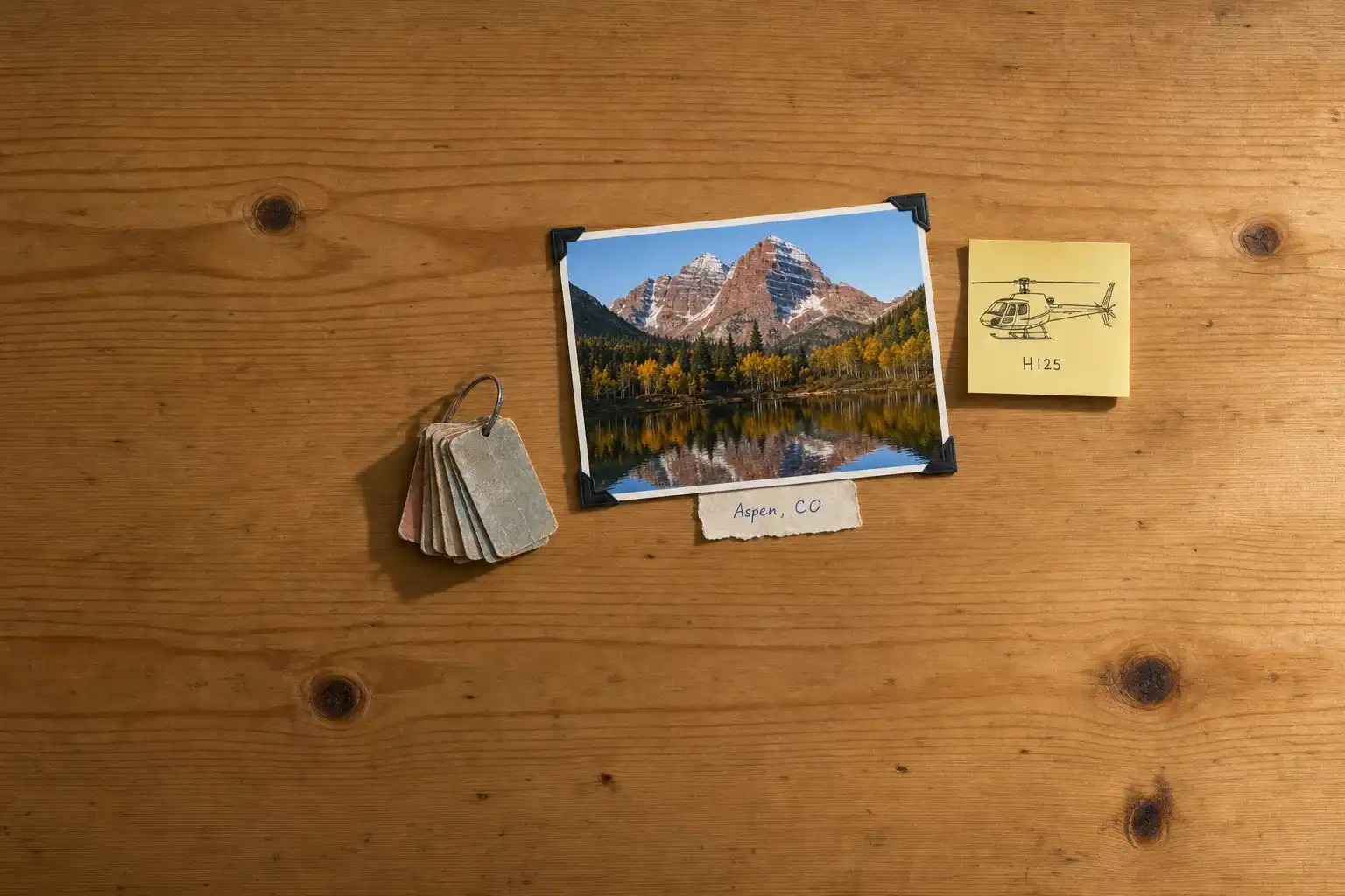
Colorado’s high summits are mostly grey. The Maroon Bells are not. The two peaks at the head of Maroon Creek are red sedimentary rock, banded pale where the layers change, standing behind a small lake that holds their reflection on a still morning. That is the picture, and most people have already seen it before they arrive.
They are the front of something much larger. Behind them the Elk Mountains carry a tight cluster of fourteen-thousand-foot peaks: Pyramid, Snowmass Mountain, Capitol Peak, Castle Peak. The Forest Service manages nearly all of it as the Maroon Bells-Snowmass Wilderness, spanning the White River and Gunnison National Forests, a roadless block of basins, passes above 12,000 feet, and lakes a day’s walk from anywhere.
Aspen sits below all of it at the closed end of the Roaring Fork Valley, an old silver town turned resort. The valley runs northwest from there through Snowmass Village, Basalt and Carbondale, and for much of the year that is the only way out.
What a Flight Actually Reaches
The Elk Range crest. The high spine behind the Bells, where the fourteeners stand close enough together to read as one range rather than as separate mountains.
The wilderness lakes and basins. Crater, Snowmass, Capitol and the cirques above them, a full day apart on foot and a few minutes apart from the air.
The Crystal River valley. Over the divide from Maroon Creek, a narrower and quieter drainage running past Marble and Redstone, with the old quarry workings above.
Independence Pass and the Continental Divide. East of town, tundra and bare rock above treeline, the road across it open barely half the year.
The valley floor. The Roaring Fork itself, ranch ground and river bottom below the resort terrain, and the ski mountains reading as cleared lines through dark timber.
One Road In, and a Pass That Closes
Aspen has two paved connections to the rest of Colorado. One runs down-valley northwest. The other climbs east over Independence Pass, which the Colorado Department of Transportation puts at 12,095 feet, closing on or near 7 November and reopening the Thursday before Memorial Day, with no vehicle over 35 feet permitted at any time of year.
So for more than half the year the valley has one open end, and for the rest of it the short way out is a narrow alpine road many vehicles cannot legally use. Anything east or south of the Divide becomes a long detour by road and a straight line by air, which is where the case for a helicopter starts here, and it works like any other airport transfer. Getting to the valley from the Front Range in the first place is a separate leg, flown up the Colorado Mountain Corridor, where thin air also governs what an aircraft lifts out of these fields.
Where a Helicopter Is the Wrong Answer
The Bells themselves. The Forest Service requires a reservation to enter the Maroon Bells Scenic Area, by shuttle or in a personal vehicle, and the system works. Anyone whose plan is to stand at Maroon Lake at sunrise should book the shuttle and go.
An aircraft cannot substitute for it either, because the Wilderness Act prohibits the landing of aircraft in designated Wilderness, and the designated Wilderness is exactly the ground the Bells stand on. That is federal statute rather than local preference, and it is the same rule that shapes flying in Jackson Hole. Everything else you might put down on, the ranch ground, the private parcels down-valley, the developed sites in the resort areas, still needs whoever owns or manages the ground to agree first.
None of that makes the flight pointless. It moves the value from the picture to the range behind it, and to ground the road does not reach.
A Field With Hard Edges
Aspen/Pitkin County Airport is the valley’s aviation front door and a demanding one. The FAA airport diagram gives a single runway, 15-33, at 8,006 by 100 feet, on a field 7,838 feet above sea level, with high terrain close on both sides.
Its operating rules matter more to your day than any of that. Where many resort fields ask, Aspen publishes a mandatory curfew, closing to aircraft outside published hours, with departures ending earlier still and exemptions only for emergency operations such as medical and firefighting flights. Treat the last departure of the day as a fixed point, because it is. What exists elsewhere in the state, from hospital pads to backcountry strips, is on the Colorado page of the Heliport Atlas.
Typical Routes and Flight Times
The valley arrival. Airport to a property in Aspen or Snowmass Village, or down-valley the other way, the most common leg here.
The pass hop. East over the Divide toward Leadville and the upper Arkansas, or south into the Gunnison country, where a slow road turns hours into minutes.
The range circuit. Up Maroon Creek, along the Elk crest and back over the Crystal, flown as whole-aircraft scenic and sightseeing charter rather than as a seat on a tour.
The backcountry drop. Onto permitted ground outside the Wilderness boundaries, for a river camp, a hunt or a survey crew.
What Hiring the Whole Aircraft Changes
You fly when the rock is red. Sedimentary red comes alive at either end of the day and goes brown and flat between, so the departure time is most of the photograph. A shared flight departs on the hours that fill seats.
You pick the drainage. Maroon Creek is one valley among many here, and an aircraft you have hired can spend the hour in the Crystal, over the Divide, or somewhere else when the crest is socked in.
Your gear and your party share one allowance. Skis, packs, rods and camera bodies all draw on it, and at these elevations it is tighter than it looks, for reasons in the Helicopter Class Comparison.
You are buying the aircraft’s time, which is what lets it sit on the ground while you do something, and is the whole of the difference in What a Charter Costs.
What Stops a Flight Here
Wind and cloud over the crest, more than anything. A range this high makes its own weather: summer afternoons build over the peaks with real reliability, winter storms close the high country for days, and the lee side of a ridge in a strong westerly is turbulent enough to end scenic flying whatever the visibility. The dependable air is early, and what a marginal forecast does to a booking is in Weather, Delays & Scheduling.
Elevation is the second limit, and it is arithmetic. The field is already near 8,000 feet and the terrain goes past 14,000, so the load an aircraft lifts on a cold morning is not the load it lifts that afternoon. Ask the payload question early rather than at the ramp.
Seasonal Patterns
Winter is the busiest season and carries the most schedule risk: the valley fills, the pass is shut, and the storms that make the skiing make the no-go days. Access flying into the surrounding terrain runs under Forest Service permit.
Late September is the window to plan around. The aspen turn gold in bands up the valley walls against dark conifer and red rock, the air is cold and stable, and the light lasts. It is short, and it moves with the year.
Summer is long and reliable in the mornings, with festivals, weddings and second-home traffic filling the valley, and afternoon build-ups worth planning around.
Late spring is thin. Runoff, mud, the pass still shut, the town quiet.
Which Charter Types Dominate Here
Resort and property transfers, the market’s core, running airport to town and up and down the valley, in the same shape as resort flying anywhere else.
Divide crossings, the legs that exist because the road east is shut or slow.
Scenic flying, genuine and large, provided it is sold as the Elk Range rather than as a close pass at the Bells.
Related Pages
Heliports near Aspen & the Maroon Bells
The FAA records 14 heliports within 50 miles of Aspen & the Maroon Bells in the current cycle. Not one is public use, so every landing here starts with the owner’s permission. Your operator makes that arrangement before the flight is confirmed.
Heliports only. Airports are a separate class of facility and are not counted here, and in many markets the charter itself works from one.