
Charter market
ChicagoLakefront
A Skyline With Nowhere to Stand Back From
Chicago sits on a lake plain. The ground runs flat from the water out past the Fox River and flat again for a hundred miles beyond, and the highest natural thing for the length of the city is the beach ridge the older streets follow. No hill, no headland, no bridge tower, no island offshore.
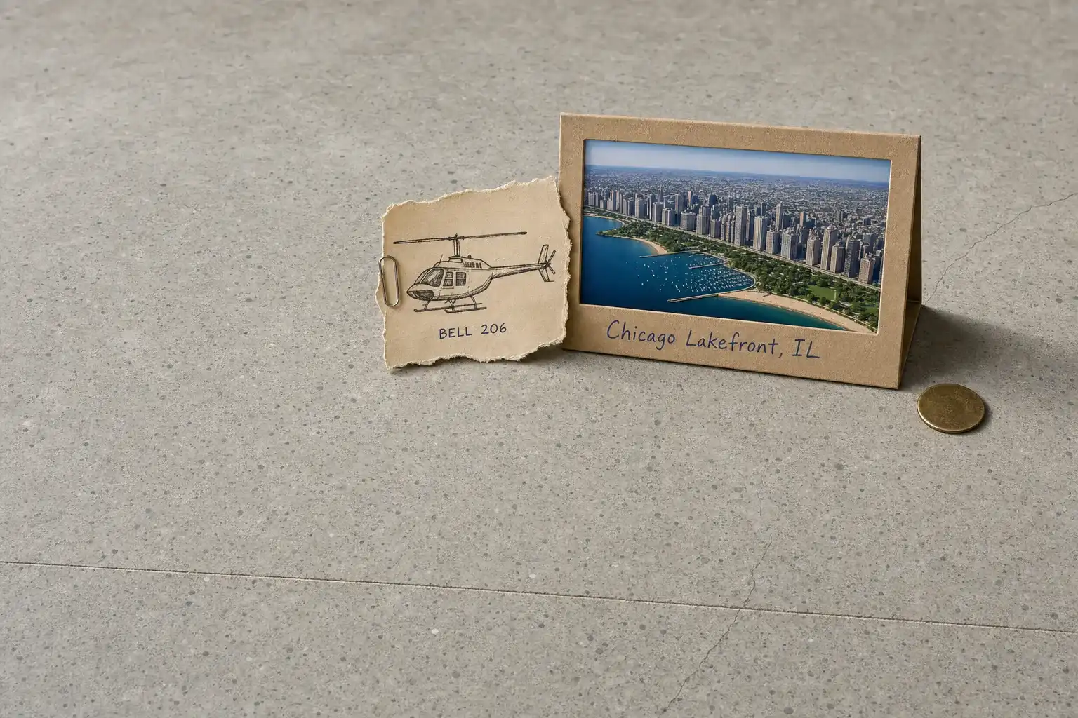
That decides how the city can be looked at. Every other American skyline worth photographing comes with a vantage attached: a bluff, a harbour crossing, a rise on the far bank. Chicago has a wall of towers on the western edge of a lake sixty miles across, and the only ground facing it is water. From a boat you look up from sea level, the angle that flattens the wall into a grey silhouette. At two thousand feet it becomes what it actually is: a front a mile and a half long on a green shelf, with a river cut diagonally through it and a grid running west until the farmland starts.
What a Flight Actually Reaches
The wall, with depth in it. Flown parallel to the shore, the Loop reads as a ridge line rather than a facade, and the towers behind the front row appear for the first time.
A designed shoreline, all of it at once. The Chicago Park District’s own figure is approximately 26 miles of shoreline, 18 miles of recreational trails and 29 beaches, laid out as parkland rather than as dock and warehouse. In the air it is one green line between the towers and the water, punched at intervals by harbours, and its whole length goes past in about ten minutes.
A river running the wrong way. The Chicago River was engineered to flow out of the lake instead of into it, and still does, through a lock at the harbour mouth. From altitude the whole arrangement is legible at once: the lock, the main stem cutting the Loop on a diagonal the grid does not share, and the fork where the branches split.
The gap where an airport used to be. Northerly Island is a 119.7 acre lakefront park built on the ground Meigs Field occupied, which once put a runway on the shoreline. It reads from the air as exactly that: a runway-shaped peninsula with no runway on it.
Twenty-Eight Registered Pads in Cook County, Two of Them Public
The Illinois page of the Heliport Atlas maps what the FAA record holds. Cook County carries twenty-eight registered heliports: seventeen hospital pads, seven government and public-safety sites, three corporate or private, and a single civic downtown facility. Exactly two are open to the public, and both are suburban village helistops about twenty-five miles out from the Loop, one of them a pad twenty-five feet square.
That downtown facility, Vertiport Chicago, sits about three miles west of the lake, on the far side of the Loop from the shoreline a visitor came to see. The lakefront’s own two pads belong to the police and the fire department, one at a harbour mouth and one on the south shore, and across twenty-six miles of parkland there is nothing else. Every arrival is an airport arrival or a permission negotiated with whoever owns the ground, which makes who controls the site the first planning question rather than the last.
The Fields Around the City
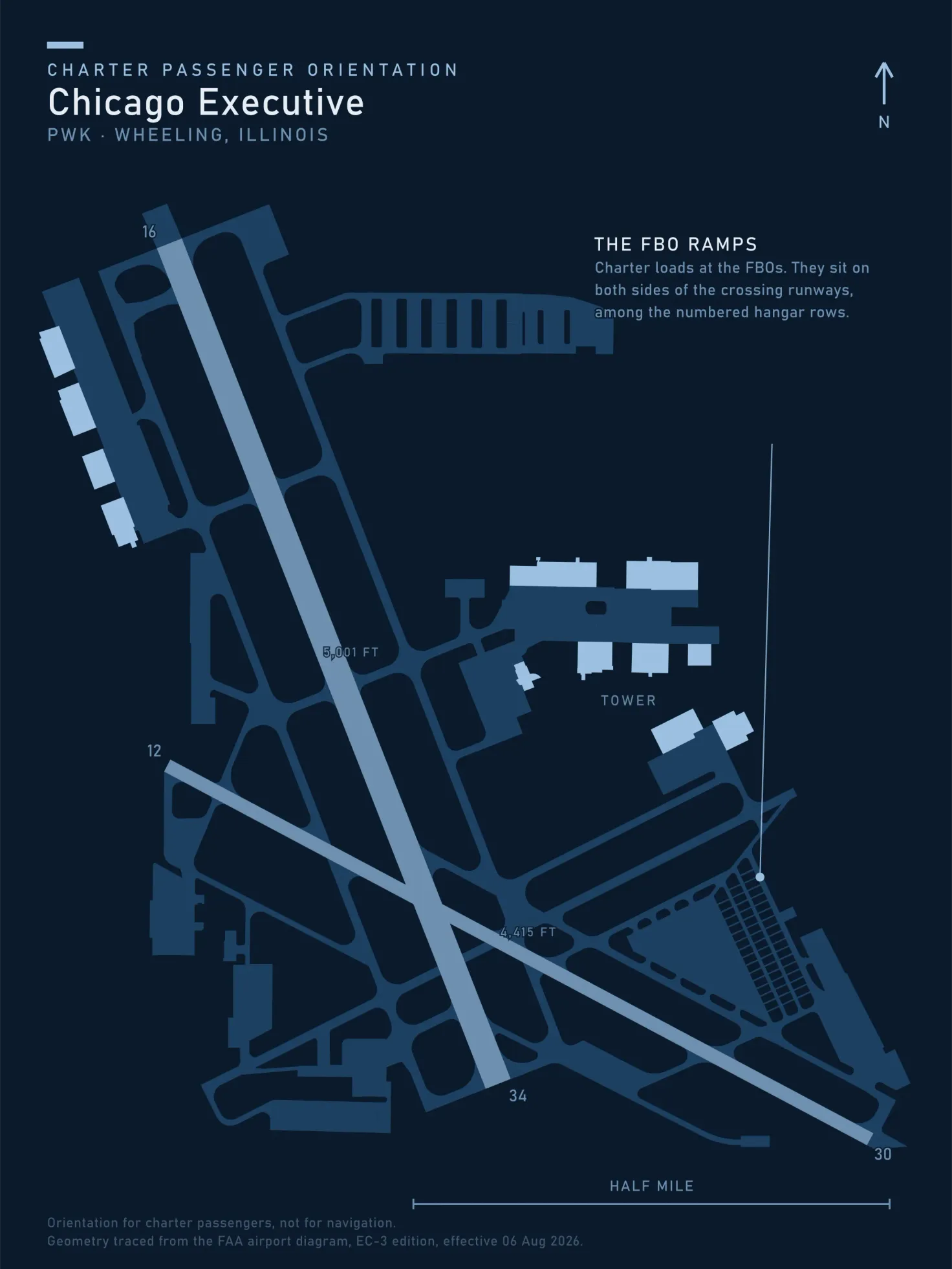
Chicago Executive is open to the public 18 miles northwest of the city, carries runway 16/34 at 5,001 by 150 feet and 12/30 at 4,415 by 75, has a tower operational 0600 to 2200 Monday to Friday and 0700 to 2200 at weekends, charges no landing fee, and lists no heliport. It is the region’s business-aviation field, and the tower hours matter on any late return.
Closer in, Chicago Midway International is open to the public 9 miles southwest of the city, has a tower operational 24 hours, charges no landing fee, and likewise lists no heliport. It takes an arrival at two in the morning, at half the road distance to the Loop.
Neither field is on the lake and neither has a pad. Between them and the shoreline lies some of the busiest controlled airspace in the country, so a lakefront route is flown around the airline traffic rather than through it.
When the Boat, the Deck and the Train Win
The architecture cruise is genuinely the right tool for the river: it goes slowly, at the height the buildings were designed to be seen from, and no aircraft can hold still over the Loop to match it. The observation decks put you most of the way up the wall for the price of a ticket, and the trains and a car reach everything inside the city, where there is nowhere to land anyway.
What the aircraft is for is the two things the ground cannot do: the whole shoreline as one continuous object, and the trip with a lake in the way of it.
Typical Routes and Flight Times
The shoreline pass. Ten minutes each way from an inland field, flown as whole-aircraft scenic and sightseeing charter. Half an hour covers the city front, an hour reaches both ends of the park system.
The airport leg. Fifteen minutes or so from the business-aviation fields to the downtown pad against an hour of expressway, ordinary airport transfer work.
North up the shore. Milwaukee and the Wisconsin lakefront in well under an hour, along a coastline the road never touches.
Across to Michigan. The eastern shore is a short leg by air and most of a day by road around the foot of the lake. A land helicopter carrying passengers is limited in how far offshore it may go unless it is equipped for the crossing, so that route often follows the shoreline rather than cutting the water, and the operating rules decide which you get.
What Hiring the Whole Aircraft Changes
You can fly the shoreline twice. Holding the aircraft turns one pass into a daylight run and a second in the last half hour of light, when the wall lights up and the lake goes black. A shared per-seat flight sells one circuit on a fixed clock, and the clock decides which you get.
You choose which side you sit on. Over a shoreline the city is on exactly one side of the aircraft and empty water on the other, which is the whole job for aerial photography and film.
You can wait out the lake. Fog off the water clears at its own pace, and an aircraft you are holding flies the inland half of the day first and comes back when it lifts.
A site you arranged stays yours, which a seat sold on a schedule never is, and in a city with this many venues sporting events and concerts are a schedule problem rather than a distance one.
Seasonal Patterns
Spring is the fog season, and the lake causes it. Into early summer the water stays far colder than the air over it, and the result comes ashore across the shoreline the flight exists to see. Often it is clear five miles inland and solid grey at the beach, so a leg planned for nine gets flown at noon.
The lake breeze is a working fact. A lake breeze develops when the land becomes warmer than the water, the warm air over land rises and gets replaced by the cool air above the lake surface, and it shows itself as the wind abruptly becoming onshore. That shift is routine here on a warm afternoon, and it changes the air over the beach without changing it a mile inland.
Late summer and autumn are the best flying, with the longest visibility of the year and low light along the front of the wall. Winter is wind and ice instead, and cold alone rarely stops a flight: ceiling and visibility do.
Which Charter Types Dominate Here
Corporate and executive movement, across a metropolitan area sixty miles end to end with a lake closing one side.
Airport and field transfers, the shortest leg and the one where the aircraft beats the expressway outright.
Whole-aircraft scenic flying, sold honestly as the shoreline and the river mouth rather than as a flight over the Loop.
Camera work, which the wall and the harbours keep busy year round, alongside real estate and land inspection behind the shoreline.
Related Pages
Heliports near Chicago Lakefront
The FAA records 82 heliports within 50 miles of Chicago Lakefront in the current cycle. Two are public use; the rest start with the owner’s permission. Your operator makes that arrangement before the flight is confirmed.
Heliports only. Airports are a separate class of facility and are not counted here, and in many markets the charter itself works from one.