
Charter market
LakePowell
A Canyon System With Water In It
Glen Canyon was a maze. When the dam closed and the water rose, it did not fill a valley the way most reservoirs do; it went up into the side canyons, and then into the side canyons of those, until the result was a body of water whose edge folds back on itself so many times that its shoreline runs for a length no one describes without reaching for a comparison. Glen Canyon National Recreation Area is the place that produced.
The consequence is a landscape almost impossible to hold in your head from ground level. From a boat you are inside one corridor of red rock at a time, with no sense of the branching system around you. From any road you see a fragment. Only from the air does it resolve: water threading back into hundreds of separate canyons, buttes standing between arms that connect miles from where you are looking, and slickrock desert running to the horizon in every direction.
That structural view is the reason to fly here, and it is not available any other way.
What a Flight Actually Reaches
The flooded arms. The Escalante, the San Juan and a long list of unnamed canyons, narrowing as they run back until the water ends against a wall of sandstone. Seeing how far the system reaches is the thing that surprises people.
Rainbow Bridge. One of the largest natural bridges in the world, standing in a side canyon and protected as Rainbow Bridge National Monument. Reaching it on the ground means a boat trip and a walk, or a long hike across Navajo land by permit.
The dam and the gorge below it. Where the reservoir ends and the Colorado resumes as a river in a deep, narrow canyon, which is the clearest illustration of what the dam actually did.
The drought shoreline. The lake has fallen a long way from its historic high, and the record is written on the rock as a pale band above the current waterline, running for miles through every canyon. It is one of the more sobering things to see from the air, and it is unmissable.
What a Flight Cannot Show You
Two corrections worth making before anyone books, because both come up constantly in this market.
Antelope Canyon is invisible from the air. It is a slot canyon: a crack a few feet wide, sometimes narrower, with the interesting part entirely below the rim. From above there is nothing to see but a hairline in the rock. It sits on Navajo Nation land and is visited only on guided tours with a Navajo operator, which is the sole way to see it. A flight is not an alternative and does not include it.
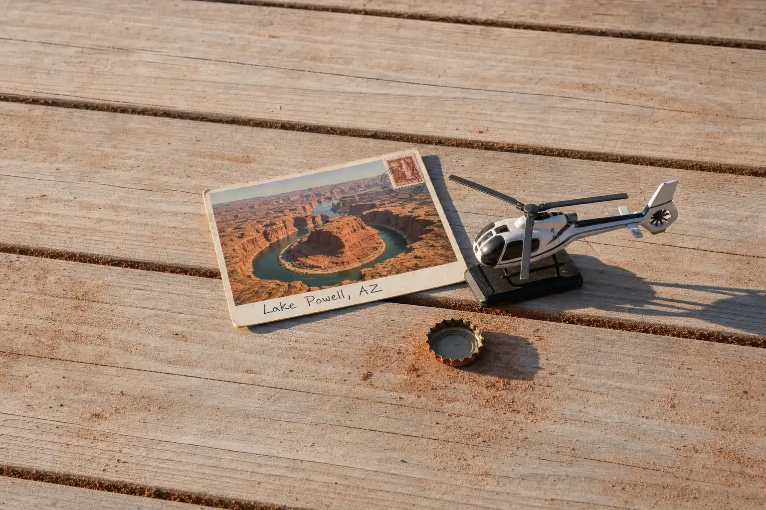
Horseshoe Bend does not require a flight. The famous meander sits a short walk from a car park near Page, and the view from the rim is the view you have seen in photographs. What the air adds is context rather than access: the bend as one turn in a much longer canyon, with the lake and the plateau behind it.
None of that argues against flying here. It argues for flying here for the right reason, which is the system as a whole rather than any single photograph.
Where Flights Operate From
Page Municipal Airport sits on the mesa above the town, minutes from the dam and the bend, and is the practical base for local flying. The area also appears as a leg on longer Southwest days flown from further afield, including from Las Vegas.
Landing anywhere other than an airfield is a question of who administers the ground, and here that means the Park Service, the Navajo Nation, or state and private owners depending on where you are pointing. The general rules are covered in Heliports & Landing Zones, and the framework every charter operates under is explained in FAR Part 135 for Charter Customers in Plain-English.
Typical Routes and Flight Times
The local loop takes the bend, the dam and the lower lake, and is short.
The canyon run goes up the arms toward Rainbow Bridge and back, and is the flight that actually shows the system. It takes real time, because the distances up those canyons are longer than they look.
The Southwest day links this country with Grand Canyon, the red rock around Sedona, the canyon country upstream at Moab and the buttes east at Monument Valley, which sit close together by air and nowhere near each other by road. What separates the aircraft classes across those longer desert legs is set out in Helicopter Class Comparison.
What Hiring the Whole Aircraft Changes
You can go up the arms. A scheduled loop is built around the two famous sights because that is what fills seats. The canyons that make this landscape unique are further out, and reaching them costs time a fixed departure will not spend.
You can fly the light the canyons need. This market inverts the usual rule. Deep, narrow canyons are in shadow at the ends of the day and lit only when the sun is high, so the hour that flatters most landscapes is the wrong one here, and the hour most flights avoid is often the right one.
You can work the water level. As the shoreline moves, the interesting edges move with it. A pilot who has been flying it recently knows where the system currently looks its most dramatic.
You can put the camera first. Sandstone, water and hard light are a demanding combination, covered in Aerial Photography & Film.
Seasonal Patterns
Summer is hot in a way that affects flying as well as comfort, since heat thins the air and reduces what an aircraft can lift, the same arithmetic described on Grand Canyon. Mid to late summer also brings the monsoon and its afternoon storms, which makes mornings the working part of the day.
Spring and autumn are the comfortable seasons, with clear air and long light. Winter is cold, quiet and often beautifully clear, with short days as the trade. Water level is its own calendar here: it changes what is reachable by boat, which ramps operate, and how the shoreline reads from above, and the Park Service publishes current conditions as they change. How weather reshapes a booking generally is covered in Weather, Delays & Scheduling.
Which Charter Types Dominate Here
Scenic flying, the bulk of it, framed as charter in Scenic & Sightseeing Charters.
Regional touring. Lake Powell as one stop on a Southwest circuit, which is the use a hired aircraft serves best.
Photography and film. The canyon country draws serious aerial work, and the light window here is narrower and stranger than most.