
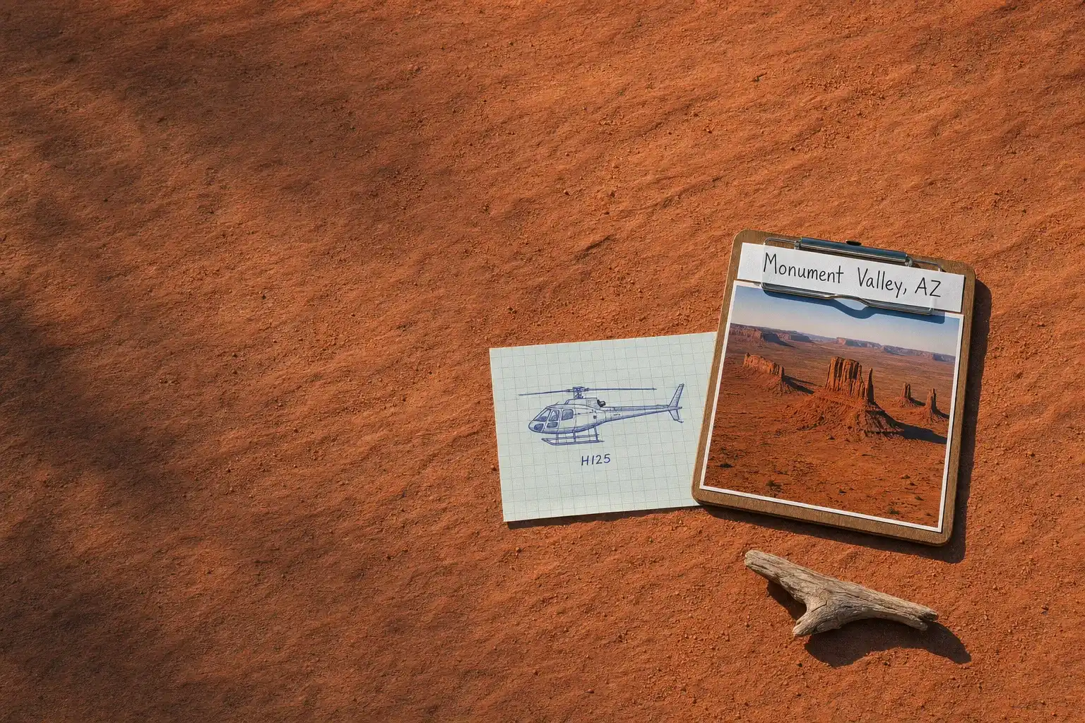
Charter market
MonumentValley
The Rock That Is No Longer There
Monument Valley straddles the Arizona and Utah line on Navajo Nation land. It is a tribal park rather than a national park: Monument Valley Navajo Tribal Park is administered by the Navajo Nation, which sets the hours, the permits and the terms of access.
The floor sits at roughly five and a half thousand feet, and the sandstone monoliths standing on it rise anywhere from four hundred to a thousand feet above that. Most of the Colorado Plateau is canyon country, where the shapes are cut down into the ground. Here they stand up out of it.
The reason is subtraction. The flat tops of the Mittens, Merrick Butte and the mesas behind them all finish at close to the same height, and that shared ceiling is the surface of a plateau that once ran across the whole basin. Everything between the buttes used to be rock.
From the floor you see monuments. From a few thousand feet the tops line up into that one vanished surface, and the scale of what has been removed becomes obvious. That reading is the specific thing the air gives you here.
What a Flight Actually Reaches
The Mittens and Merrick Butte. The three formations that define the view from the visitor centre. On the ground they compose into one flat picture. From the air they separate into distinct objects standing measurable distances apart.
Agathla Peak. South toward Kayenta, a dark spire rising over fifteen hundred feet above the surrounding ground and made of entirely different material: an eroded volcanic neck, the throat of a vent in the Navajo Volcanic Field, standing among red sandstone and looking like it arrived from somewhere else. In a sense it did, from below.
The Totem Pole and Yei Bi Chei. Slender spires at the eastern side of the valley, the narrowest so thin its proportions never read properly from the ground.
Hunts Mesa and Mystery Valley. The high vantage southeast, looking back down the valley across the whole field of buttes, and the quieter country of small arches and alcoves southwest of it. Both sit outside the loop road, and reaching either overland is a guided trip on rough track.
The Goosenecks of the San Juan. North across the Utah line, where the river has cut entrenched meanders a thousand feet below the rim. Goosenecks State Park puts the arithmetic plainly: the river flows over six miles to advance a mile and a half west. From the overlook you see one bend. From above you see the whole switchback, which is the only way that figure means much.
Valley of the Gods and Comb Ridge. Further north again, a second field of isolated buttes on public land with almost nobody in it, and beyond it a monocline of tilted rock running as a single wall for tens of miles.
The Postcard Is a Ground-Level Photograph
Almost every famous image of Monument Valley was made from the ground, looking horizontally. These are vertical subjects read against sky, and the effect depends on standing below them. A seventeen mile unpaved loop drive inside the tribal park reaches the classic vantages, so the signature view here needs no aircraft, no boat and no hike. From directly overhead a butte is a flat top with a shadow beside it, and much of what makes it impressive is gone.
There is a second thing to understand. The FAA asks pilots over noise-sensitive areas to fly not less than 2,000 feet above ground level where weather permits, and the advisory setting out that request measures that height against the highest nearby terrain or the uppermost rim of a canyon or valley. The areas it has in mind include parks and cultural sites where a quiet setting is a recognised attribute. It is guidance rather than regulation, but it is guidance a careful operator follows. Plan for the wide structural view rather than for weaving between the spires.
None of that argues against flying here. It argues for flying for the reasons that hold up: the plateau reading, the country beyond the loop road, and the trip itself.
Where Flights Operate From
Two small fields sit near the valley, both above five thousand feet, which matters for what an aircraft can carry on a warm day. Monument Valley Airport is on the Utah side and is a private field, so use is by prior arrangement. Kayenta Airport lies about twenty miles south in Arizona. Neither carries scheduled airline service, so most flying here arrives from further out: Page, Flagstaff, Moab, Cortez or Farmington.
Landing anywhere other than an airfield is a question of who administers the ground, and here that means the Navajo Nation, the Bureau of Land Management, the state of Utah or private owners. On Navajo Nation land that is a tribal permission rather than a federal one, a distinction worth raising early rather than at the ramp. The general rules are covered in Heliports & Landing Zones, and the framework every charter operates under is explained in FAR Part 135 for Charter Customers in Plain-English.
Typical Routes and Flight Times
The valley circuit works the main field of buttes, Agathla to the south and Hunts Mesa to the southeast. It is short, and it shows the vanished plateau.
The two-state loop carries on north for the Goosenecks, Valley of the Gods and Comb Ridge, which sit a few air minutes apart and a great deal of driving apart.
The plateau day links this country with Lake Powell west, the canyon districts at Moab north and the red rock around Sedona southwest. What separates the aircraft classes over long, hot, high desert legs is set out in Helicopter Class Comparison.
What Hiring the Whole Aircraft Changes
You arrive instead of drive. This is the argument at Monument Valley, and it differs from the rest of the plateau. The valley has no scheduled service and no interstate near it, and the road approach from the nearest large airports runs to the better part of a day each way. A shared sightseeing departure does not solve that: it is sold from somewhere you still have to get to.
You can fly the hour the rock needs. These are silhouette subjects. Low sun separates the buttes from each other and throws the shadows that make the spacing readable, and that window is short at both ends of the day. The tribal park’s scenic drive runs on published seasonal hours with a last entry well before closing, so the best light and the open gate do not always coincide.
You can cross the state line in one go. The Arizona formations and the Utah ones are one landscape joined by a thin, indirect road network. In the air they are one flight.
You can put the camera first. Hard sun on red sandstone is demanding, and this valley has been photographed and filmed for the better part of a century, which sets an unforgiving bar. What an aerial camera position requires is set out in Aerial Photography & Film.
Seasonal Patterns
Spring and autumn are the working seasons, with clear air and the low light this landscape needs. Spring also brings wind, and wind on the Colorado Plateau brings blowing dust that can flatten visibility for a day at a time.
Summer is hot, and heat at this elevation reduces what an aircraft can lift, the same arithmetic described on Grand Canyon. Mid to late summer brings the monsoon and its afternoon storms, which makes mornings the usable part of the day. Winter is cold, quiet and often exceptionally clear, and snow on red sandstone is a different picture of the place that lasts hours rather than days, with short daylight as the trade. Forecasts for the Arizona side come from the National Weather Service in Flagstaff; the Utah country north of the line falls to another office. What conditions do to a booking is covered in Weather, Delays & Scheduling.
Which Charter Types Dominate Here
Access flying. Reaching a valley the road system serves badly, which is the use a hired aircraft serves best here.
Scenic flying, framed as charter in Scenic & Sightseeing Charters.
Photography and film. The valley has drawn serious work for decades, and the light window that suits standing rock is narrow.