
Charter market
Martha'sVineyard&Nantucket
Two Islands, and No Car Ferry Between Them
Martha’s Vineyard lies a few miles off Woods Hole, at the southwest end of Cape Cod. Nantucket sits thirty miles out into the Atlantic, alone, with shoal water and open ocean south of it. They are named together in every account of the region, and they lie some twenty-five miles apart.
The boats are good, and they run to the mainland. Vehicles cross from Woods Hole to the Vineyard and from Hyannis to Nantucket, and the Steamship Authority makes vehicle travel on the Woods Hole to Martha’s Vineyard route reservation-only while letting passengers without a vehicle buy at the terminal on the day of sailing. A walk-on has an easy time of it here.
What does not exist is a car crossing between the two islands. Put both in one itinerary and, on the water, the day becomes a return to the mainland and a second departure from a different port. That is what this market turns on.
What the Ice Left, Read From Two Thousand Feet
Both islands are the far edge of a glacier. The USGS records that sometime after 23,000 years ago the glacier reached its maximum advance, a position marked approximately by the islands of Nantucket and Martha’s Vineyard. That is the reason for the shape of everything below you.
The ridge and the plain. A band of dumped rubble along the north and west, hilly, wooded and pocked with kettle ponds, and south of it a fan of graded sand tilting to the ocean. On the ground the halves feel like different islands. From two thousand feet they are one gesture, with the seam drawn across the middle.
Valleys with nothing running in them. Long troughs come down that plain toward the south shore carrying no stream: a dip in the hedgerow from a road, a comb of parallel cuts from above.
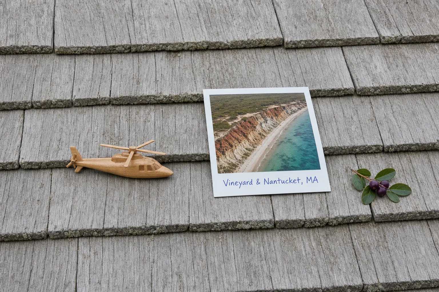
The coloured cliffs. At Aquinnah, on the Vineyard’s southwest end, the sea has cut the moraine off and stood its layers on edge: red, ochre, white and grey clay banded above a narrow beach. This is Wampanoag land, and the view of the whole face belongs to the water and the air.
Barriers and the water behind them. The Vineyard’s south shore is one long bar of sand with great salt ponds behind it, open to the ocean or closed off depending on what the winter did. Coatue, Great Point and Cape Poge are the other version: hooks of bare sand with water on both sides, reached on the ground only by a slow drive over sand.
The places almost nobody reaches. The Elizabeth Islands run northeast toward Woods Hole, all but one of them private, and Muskeget and Tuckernuck lie low and all but unbuilt west of Nantucket.
The Island Nobody Goes Ashore On
Off the Vineyard’s southwest end lies an island no boat may land on. Nomans Land Island National Wildlife Refuge covers 628 acres in Dukes County, was used as a bombing range by the US Navy starting during World War II, and is closed to all public uses because of the potential safety risks associated with unexploded ordnance.
Closed to landing, open to sight: at height it reads as a low green table with surf all the way round.
Where the Aeroplane Is Usually Right
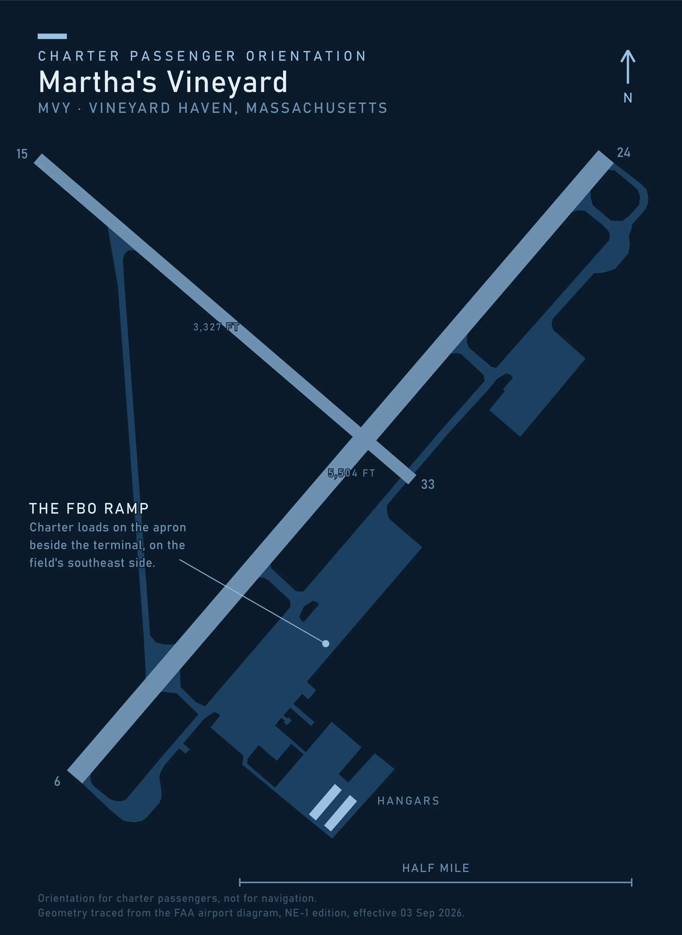
Both islands have full runways with towers on them, and scheduled service into both is thick. Martha’s Vineyard Airport is county-owned, 06/24 at 5,504 by 100 feet and 15/33 at 3,327 by 75. Nantucket Memorial belongs to the Town of Nantucket, 06/24 at 6,303 by 150 feet of grooved asphalt and 15/33 at 4,500 by 100.
For a straight terminal-to-terminal run, the aeroplane is quicker, cheaper, and already flying. A helicopter earns the trip on the other cases: both islands in one day, an origin with no scheduled service, a party and its bags that will not fit, or ground at the far end that is not the airport.
The second note is the weather. Warm moist air over cold shelf water makes sea fog, and these islands sit in it through late spring and early summer. It is more often a morning problem than a whole-day one, and the thing most likely to move a departure.
Two Fields With Seasonal Towers, and One Made of Grass
Both towers run 0600 to 2200 for the season, the Vineyard from 15 May to 31 October and Nantucket from 15 May to 30 September, and the Vineyard’s drops to 0700 to 1700 for the winter. Its record adds a voluntary curfew on arrivals and departures between 2200 and 0600, no heliport on the field at all, and helicopters prohibited from hover taxi, landing and takeoff at the T-hangars. Every leg here crosses water, which narrows the class of machine before anything else and is why the aircraft is usually a light twin.
The third field is grass. Katama Airpark belongs to the Town of Edgartown, is open to the public at 18 feet of elevation, and carries three turf runways, 03/21 at 3,700 by 50 feet, 06/24 at 2,700 by 50, and 17/35 at 2,600 by 50. It is attended 15 May to 15 October, sunrise to sunset, and it sits on the outwash plain behind the south shore, the visible remainder of what that plain was.
Four Heliport Records for Two Islands
The Massachusetts page of the Heliport Atlas maps what the FAA record holds statewide: 96 registered heliports, not one open to the public, 29 of them hospital pads. Across both islands it holds four, two of them the island hospitals.
So a landing happens at one of the three airfields or on ground that belongs to somebody, which makes who owns and manages the site the first question, not the last. Both island airports run noise procedures, which tells you how an arrival is regarded ashore.
Typical Routes and Flight Times
The New York leg. The pads and corporate fields around the city, out along the Sound and across Buzzards Bay, against a drive of most of a day with a boat still to catch. It carries the market, and works the way any weekend getaway or airport transfer does.
The Boston and Cape legs. Seventy-odd miles south from the city to the Vineyard, or a few minutes of water from Hyannis or Falmouth.
The island-to-island leg. Minutes between the two fields, against a day and a mainland port. Nothing on the water replaces it.
The pair in one afternoon. Both islands, the Elizabeths, Nomans Land and the outer spits, flown as whole-aircraft scenic and sightseeing charter.
What Hiring the Whole Aircraft Changes
You can have both islands. A shared per-seat sightseeing flight runs one loop from one field. A whole aircraft lands on the Vineyard, holds while you eat, and has you on Nantucket by evening.
Your departure time is yours. No sailing to make, no check-in cutoff, no standby lane. Against an alternative that is a timetable, that is most of the value.
You can wait out a morning. Holding the aircraft makes a fogged-in start yours to move, which is part of the arithmetic in What a Charter Costs.
Seasonal Patterns
Summer is the season and the traffic. Both fields are busy from mid-June, both towers on long hours, the ground alternative at its most booked.
Autumn is the best flying of the year. The air dries after Labor Day, visibility across the sounds runs long, the moraine turns, and the fields quieten.
Winter is wind and short days. Nor’easters queue up offshore and the daylight is thin. The flying between them is hard-edged and clear.
Spring is fog. Water temperatures lag the air by weeks, which is the condition that makes it. Expect mornings to go and afternoons to come back.
Which Charter Types Dominate Here
Transfers from the mainland, the largest share of the work, strongest where the origin has no scheduled service.
Scenic flying, honest when sold as the shape of two islands and the water between.
Utility work. Photography and film along a shoreline that photographs well from nowhere else, aerial survey of barrier beaches that move every winter, and property inspection where the track in is sand.
Related Pages
- Destinations: the other US charter markets.
- The Hamptons & Long Island: the other summer market flown out of New York.
- Newport & Narragansett Bay: the New England market a car can reach, and why a flight still earns its place.
- Outer Banks: the other barrier-beach market, with one road down it.
- San Juan Islands: the other archipelago with no bridge.
- Key West & Dry Tortugas: where open water picks the aircraft.
- Scenic & Sightseeing: how a whole-aircraft route is planned.
- Weekend Getaways: the leg that carries this market.
- Weather, Delays & Scheduling: what sea fog does to a departure.
- Heliports & Landing Zones: the permission a site needs.
Heliports near Martha's Vineyard & Nantucket
The FAA records 19 heliports within 50 miles of Martha's Vineyard & Nantucket in the current cycle. Not one is public use, so every landing here starts with the owner’s permission. Your operator makes that arrangement before the flight is confirmed.
Heliports only. Airports are a separate class of facility and are not counted here, and in many markets the charter itself works from one.