
Charter market
KeyWest&DryTortugas
Where the Road Runs Out and the Islands Keep Going
Key West is the last town on a chain of low limestone islands trailing southwest off Florida, strung together by one highway and a long run of bridges. West of its harbour the islands carry on without the road: the Marquesas about twenty-five miles out, then shoals, then open water to the Dry Tortugas, roughly seventy miles from town.
Two very different waters meet along the chain. On the Atlantic side, North America’s only coral barrier reef runs a few miles offshore for the length of the Keys. On the Gulf side lies the backcountry: shallow flats, seagrass, tidal creeks and hundreds of uninhabited mangrove islands. Ground stands a few feet above the water everywhere, and elevation is not a concept this market uses.
What Only Shows From Above
The reef line. From a boat it is a mark on a chart. From the air it is a change of colour, dark coral heads against pale sand, holding parallel to the islands.
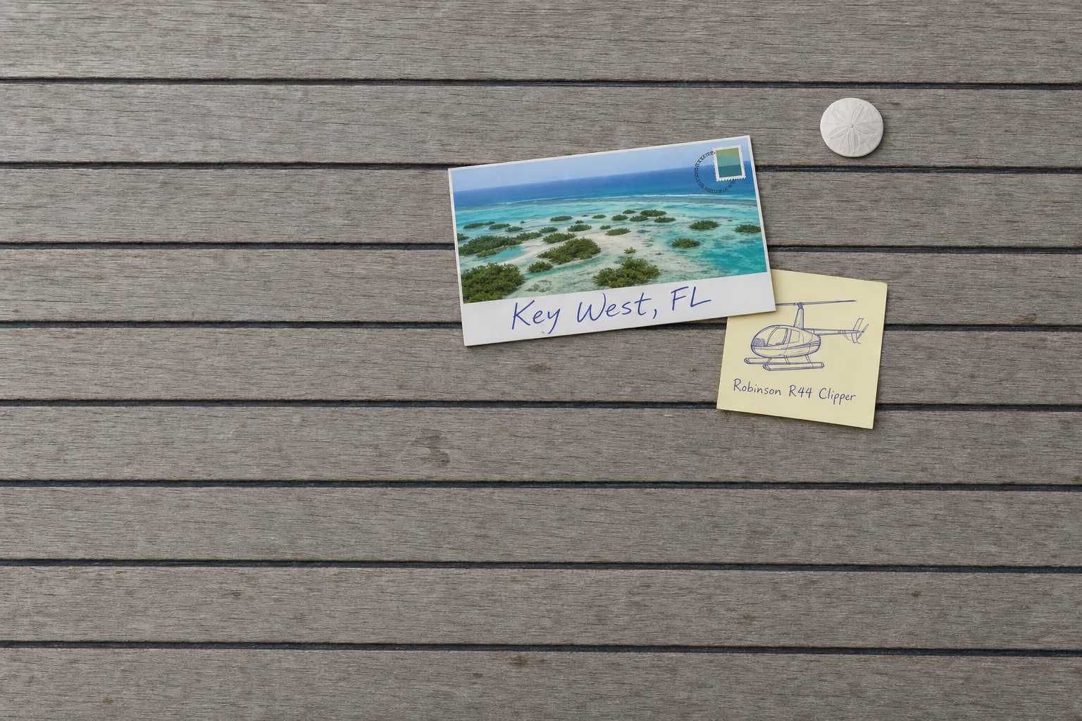
The backcountry. The flats north of the Lower Keys are a pattern rather than a place: mangrove clumps, white sand bars, channels the tide cuts and moves. Nobody sees its shape from a skiff.
The bridges. The road crosses open water again and again, and beside several modern spans the old railway bridge still stands with gaps blown through it: a set of drives on the ground, one structure from the air.
The Marquesas and the Quicksands. A near-circular ring of mangrove islands with a lagoon inside it, and beyond it shoaling ground where the water turns from deep blue to almost white in a few hundred yards.
Fort Jefferson. A hexagonal masonry fort of more than sixteen million bricks on a small key seventy miles west, inside a hundred-square-mile park that is less than one per cent dry ground. No angle from the ground gives you its shape.
Open Water Writes the Equipment List
Every market has a first question. Here it is what happens if the engine stops over the Gulf.
The federal rules for on-demand operations allow a land aircraft to carry passengers over water in four cases: at an altitude that lets it reach land after an engine failure, when necessary for takeoff or landing, as a multi-engine aircraft operated at a weight that will still climb 50 feet a minute at 1,000 feet with the critical engine inoperative, or as a helicopter equipped with flotation devices. Gliding distance to shore covers some of the route structure and almost none of the interesting part, so the aircraft is either a twin that meets the climb figure or a single fitted with floats.
That is settled before anything else is, so it belongs in any comparison of classes of machine, and it is a fair thing to ask about: Part 135 as a planning fact rather than as paperwork.
One Runway at Three Feet
Key West International has a single runway, 09/27, 5,076 by 100 feet of asphalt, at a field elevation of 3.4 feet. Its FAA record marks the field noise-sensitive, asks for NBAA noise abatement procedures, and lists no operations between 2300 and 0700. The tower works 0700 to 2100.
That curfew is the planning fact. In the mountain markets an aircraft is limited by how high the ground is; here it is limited by the clock, and a late arrival into Key West does not run late, it does not happen. Treat a slipped departure the way Weather, Delays & Scheduling treats any hard stop.
Five miles up the chain, Naval Air Station Key West at Boca Chica holds three runways, the longest 10,001 by 200 feet. It is private use and prior permission required, so it is no alternate for a charter, and its traffic shapes the airspace over the Lower Keys.
Six Records in a Hundred Miles of Islands
The Florida page of the Heliport Atlas maps what the FAA record holds: 382 registered heliports across the state, exactly one open to the public, and 186 of the 382 hospital pads. Monroe County, the whole island chain from Key Largo down, holds six records. Four are hospital pads and none is public.
A landing therefore happens on ground that belongs to somebody, so who owns and manages the site is the first question rather than the last, and on islands this narrow it is a neighbour question as well.
Where a Landing Is Not on Offer
The refuges. Key West National Wildlife Refuge has covered the Marquesas and thirteen other islands across 375 square miles of open water since 1908, and Great White Heron, established in 1938, takes in about fifty miles of backcountry west of Marathon. Both prohibit landing airplanes, helicopters and ultralights, and between them that is most of the water north and west of the Lower Keys. Overfly it; do not plan to touch down.
Dry Tortugas. The Park Service is plain that the park is reachable only by boat or seaplane. A flight shows you the fort, the moat and the reefs around them, and cannot put you on Garden Key. When the visit itself is the point, the boat is the answer, as it is for the calving ice in Prince William Sound.
The drive, on a settled day. The run down the chain over open water is one of the best in the country, and some days the road is the trip.
Typical Routes and Flight Times
The mainland leg. Miami, Fort Lauderdale or Palm Beach into Key West, a little over a hundred miles down the chain against a drive of three and a half hours before traffic. It turns the Keys into a weekend getaway rather than two driving days, and its northern pads belong to South Florida.
The chain run. Key Largo, Islamorada, Marathon and Key West on one route with the reef to one side and the backcountry to the other, flown as whole-aircraft scenic and sightseeing charter.
The Tortugas circuit. Out past the Marquesas and the Quicksands to Fort Jefferson and back, on the order of a hundred and forty miles, nearly all over water, and the leg that makes the equipment question concrete.
The harbour loop. A short circuit off Key West: old town grid, naval waterfront, reef line and the wrecks in shallow water, the work an aerial photographer books.
What Hiring the Whole Aircraft Changes
You fly the light, not the timetable. Water colour depends on sun angle and on how much sediment the wind has stirred, so the reef looks like a different place at ten and at four. A hired aircraft takes the hour that works.
You choose the water. With the Atlantic side rough and hazy, the same hour can work the backcountry and the Gulf flats instead of being written off.
You can go west. The Tortugas leg is long, over water and expensive in airframe time, exactly the route a per-seat operation does not run and the arithmetic set out in What a Charter Costs.
Seasonal Patterns
Winter is the season. December through April brings settled air, the clearest water and the fullest town, with cold fronts every week or so taking a day out.
Spring is the best light of the year, warm and clear before the humidity builds.
Summer is hot, bright and convective. Mornings are dependable, afternoons build, and the sea breeze sets up most days.
Autumn is the storm season. The Atlantic hurricane season runs from 1 June to 30 November, peaks on 10 September and concentrates most activity between mid-August and mid-October. That does not close the market, and it does change how you book it: the storm is a few days, the disruption around it runs longer, and a September itinerary wants a second date.
Which Charter Types Dominate Here
Scenic flying, the largest share, honest when sold as the reef and the run west rather than as a landing at a fort that takes none.
Arrival legs from the South Florida cities, the way resort flying works anywhere else.
Occasion flying. The town runs on weddings and sunsets, so a short special occasion flight is ordinary here.
Utility work, year-round: aerial survey of shoreline, reef and mangrove, bridge and powerline inspection, and property work on islands no road reaches.
Related Pages
- Destinations: the other US charter markets.
- South Florida: where the arrival legs come from.
- The Everglades & Biscayne Bay: where the same shallow water starts.
- Lake Powell: the other market shaped by water.
- Prince William Sound: where the day boat wins the headline attraction.
- San Juan Islands: the other island chain, where the ferry timetable is the terrain.
- Outer Banks: the other chain with one road down it.
- Weekend Getaways: the trip shape the Keys sell.
- Martha’s Vineyard & Nantucket: the other island market flown over open water.
- Helicopter Class Comparison: what a second engine or floats buy.
- FAR Part 135 Explained: where the equipment question comes from.
- Heliports & Landing Zones: the permission a site needs.
Heliports near Key West & Dry Tortugas
The FAA records 4 heliports within 50 miles of Key West & Dry Tortugas in the current cycle. Not one is public use, so every landing here starts with the owner’s permission. Your operator makes that arrangement before the flight is confirmed.
Heliports only. Airports are a separate class of facility and are not counted here, and in many markets the charter itself works from one.