
Charter market
SunValley&theSawtoothRange
Two Ranges Facing Each Other Across One Valley
Hailey, Ketchum and Sun Valley sit in a row on the floor of the Wood River Valley in central Idaho, near six thousand feet, with Bald Mountain over Ketchum. North of the towns the valley narrows, climbs and tips into a second one, and the second is why people keep going.
The Sawtooth Valley runs about thirty miles from Galena Summit down to Stanley, a flat sagebrush floor with the Salmon River starting in it. Raw grey granite walls it on the west, a crest of spires standing straight out of the sage; the White Clouds and the Boulders wall it on the east, paler, rounder and nearly as high. Congress created the Sawtooth Wilderness in 1972: 217,000 acres, fifty peaks above ten thousand feet, nearly four hundred alpine lakes. The White Clouds and Boulders were given wilderness of their own in 2015, and all three sit inside the Sawtooth National Recreation Area.
What a Flight Actually Reaches
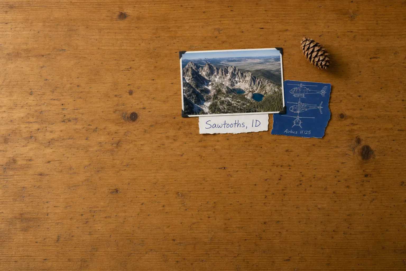
The Sawtooth crest. A serrated line of granite running north to south, snow in its couloirs into July, cirque lakes stepped in chains down the east side. From the valley you see a wall. From above you see how thin it is, and what hides behind it.
The White Clouds. Castle Peak at 11,815 feet and the pale banded country beneath it, the Boulder Chain Lakes down one drainage and the Big Boulder Lakes in another, a full day’s walk in on foot.
The Stanley Basin and the headwaters. The bowl where the valley opens out, Redfish Lake at its edge, the Salmon leaving east and then north into steeper ground. The sockeye that reach that lake have come almost nine hundred miles from the Pacific and climbed more than six thousand feet, farther inland and higher than any other salmon run in the country.
The country east of Ketchum. The Boulders, the Pioneers and the drainages between them: open ridges without the granite drama, and without anybody on them either.
Sixty Miles of Highway 75
One paved road links the two valleys. State Highway 75 climbs out of the Wood River Valley past the Boulder and Smoky mountains and crosses Galena Summit at 8,701 feet before dropping into the Sawtooth Valley. Ketchum to Stanley is about sixty miles that way against roughly forty-five in a straight line, and the difference is not the mileage. It is that there is no second route: when the summit closes for snow or slide work, the way round runs through Challis or Boise and costs half a day. That is the ordinary case for an airport transfer, sharpened by having one road to fail.
The Backcountry Here Already Has an Air Service
Central Idaho is not underserved by aviation. It is served by the kind that arrived first and stayed.
The Idaho Division of Aeronautics maintains more than thirty backcountry airstrips across the state, a public network with no real equivalent anywhere else. North and west of the Sawtooths, the Frank Church-River of No Return Wilderness is the largest contiguous wilderness in the lower 48, and eight public-use airstrips operate inside it. The Central Idaho Wilderness Act of 1980 wrote them into the wilderness rather than out of it, which is close to unique in American land law.
Those are aeroplane facilities, and the statute’s exception is built around them. The Wilderness Act’s ban on landing aircraft applies everywhere else, including the Sawtooths, the White Clouds and the Boulders.
A river party bound for the Middle Fork therefore has a fixed-wing answer already, and a good one. What the aeroplane cannot do is land where there is no strip, hold over a ridge, or put four people on a snowfield in winter. That is narrower than the Alaska version of the same argument.
One Runway at 5,319 Feet
Friedman Memorial at Hailey has a single runway, 13/31, 7,550 by 100 feet, at a field elevation of 5,319 feet. It sits on the valley floor with high ground on both sides, its pilot information advises against night use or marginal weather for unfamiliar pilots, and its tower closes overnight.
Plan for the field to be unavailable some of the time. Twin Falls is roughly seventy miles south and Boise a little under a hundred west, and an itinerary naming a second field at the booking stage absorbs a diversion instead of losing a day, the practical shape of Weather, Delays & Scheduling.
Thin air matters less here than it does over the Colorado passes, but a July afternoon still lifts the density altitude well above 5,300 feet, so settle what your class of machine will carry when you book.
Almost Nothing on the Ground
The Idaho page of the Heliport Atlas maps what the FAA record holds: fifty-one registered heliports across the state, exactly one open to the public, and twenty-two of the fifty-one hospital pads. The Wood River Valley has three records in total. The Sawtooth Valley and the Stanley Basin have none.
That is less an obstacle than a description of the work: almost every landing here happens on ground that belongs to somebody, so who owns and manages the site is the first question rather than the last.
Three Things the Air Does Not Improve
The lift-served mountain. Bald Mountain has chairlifts from the edge of Ketchum and its runs come back to town. Flying to a mountain with a lift on it buys nothing.
Landing in the four wilderness areas. Sawtooth, Cecil D. Andrus-White Clouds, Hemingway-Boulders and the Frank Church away from its strips are closed to a landing. Overfly them freely; do not plan to touch down.
The drive over Galena on a clear day. The descent into the Sawtooth Valley is one of the best road views in the Rockies, and some days the road is the trip.
Typical Routes and Flight Times
The gateway legs. Boise is under a hundred miles direct against a drive half again as long, the connection most itineraries are built on; Twin Falls is about seventy miles and the answer when the Hailey field is shut.
The cross-valley hop. Ketchum to Stanley, some forty-five miles direct against sixty miles and a mountain pass.
The two-range circuit. The Sawtooth crest north to the Stanley Basin, back down the White Clouds past Castle Peak, flown as whole-aircraft scenic and sightseeing charter.
The winter lift. Helicopter skiing onto permitted non-wilderness terrain in the ranges around the valley.
What Hiring the Whole Aircraft Changes
You cross the summit on your own terms. The pass defines this place, and a hired aircraft treats it as scenery. A shared flight leaves when its seats fill, rarely the hour the weather allows.
You choose which range. With the Sawtooths in cloud, the same hour can work the White Clouds, the Pioneers or the Salmon canyon instead of being lost.
You can wait on the ground. A hired aircraft sits on a permitted site while a party fishes or works, then lifts when they are ready, the distinction drawn in What a Charter Costs.
You reach what has no strip. The country those strips do not serve is most of this map.
Seasonal Patterns
Winter fills the valley and shortens the day. Ski traffic, storms, a field that closes on the worst of them, heli-ski flying on the days between.
Spring is runoff and mud, the high basins still locked and little booked.
Summer is the long season, dependable in the morning and building cumulus over both ranges by afternoon.
Late September is the short bright window. Aspen turning in bands up the drainages, cold settled air, and the smoke of a bad fire year sometimes taking it away entirely.
Which Charter Types Dominate Here
Arrival legs from Boise, Twin Falls and the Salt Lake corridor, working the way resort flying does anywhere else.
Scenic flying, honest when sold as two ranges and the basin between them rather than as a pass at a single peak.
Winter skiing work, a real share of the season here in a way it is not in most of the lower 48.
Utility work, year-round: aerial survey for range and forest condition, fire support through the summer, ranch property across both valleys.
Related Pages
- Destinations: the other US charter markets, one at a time.
- Jackson Hole & the Teton Range: the neighbouring market, where a national park draws the boundary.
- Telluride: the other single-road mountain town, limited by field elevation rather than a pass.
- Katmai: the Alaska market where a different aircraft owns the interior.
- Heliskiing: how a winter charter onto permitted terrain is planned.
- Weekend Getaways: the trip shape this valley is bought for.
- Weather, Delays & Scheduling: what a closed field or pass does to a booking.
- Heliports & Landing Zones: the permission a landing site needs.
Heliports near Sun Valley & the Sawtooth Range
The FAA records 4 heliports within 50 miles of Sun Valley & the Sawtooth Range in the current cycle. Not one is public use, so every landing here starts with the owner’s permission. Your operator makes that arrangement before the flight is confirmed.
Heliports only. Airports are a separate class of facility and are not counted here, and in many markets the charter itself works from one.